ITSS

Trending

Using Geo-tagging Tool wisely
Lands Department - Land Surveyor
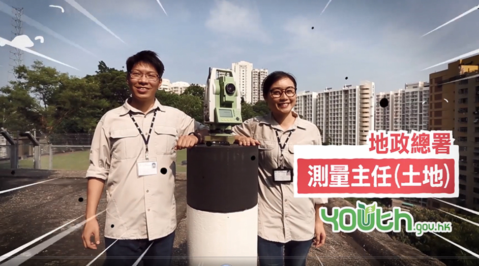
Lands Department - Survey Officer (Land)
Lands Department - Cartographer
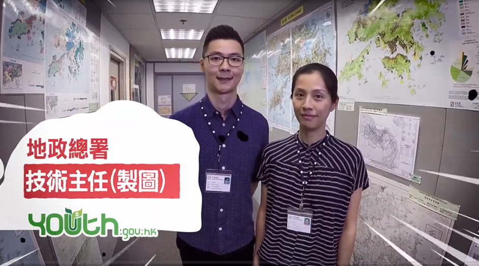
Lands Department - Technical Officer (Cartographic)
What’s Geo-tagging Tool
Map Application Programming Interface services officially launched
如何活用地理位置標記工具
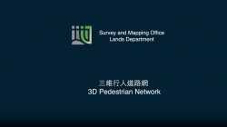
3D Pedestrian Network and 3D Visualisation Map datasets made free to public
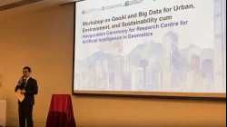
HKSTPGeoSpatialTechChallengeHighlight
01HealthyLifeStyle
1st-consultation-session-2


My videos